CSIRO Surveys in Papua New Guinea – Chris Warrillow
Ken Granger, in his three-part account of the above, described some of the trials and tribulations of providing logistic- and transport-support for a group of scientists and other professionals who spent time in remote and difficult country in a different era.
That 1961 survey resulted in the CSIRO’s Land Research Series (LRS) No. 14 publication. It was titled ‘Lands of the Wabag-Tari Area, Territory of Papua New Guinea’.
Shortly after World War II the CSIRO agreed to approaches by the Commonwealth, Western Australian and Queensland governments in regard to carrying out extensive land studies in areas of northern Australia.
Commencing in 1948 the earliest studies were undertaken in the NT, Qld and WA.
The administration of then TPNG later sought the same assistance and the Commonwealth agreed. The first land surveys were undertaken in the Buna-Kokoda area of the Northern District (now Oro Province). They lasted from 1 July to 4 October, 1953. However, the completed report, LRS No. 10, was not published until 1964.
It was not until the late 1960s that the RAAF had completed its comprehensive aerial photography coverage of the whole of TPNG. This then enabled the Royal Australian Survey Corp to produce the excellent 1:10000 topographical maps series.
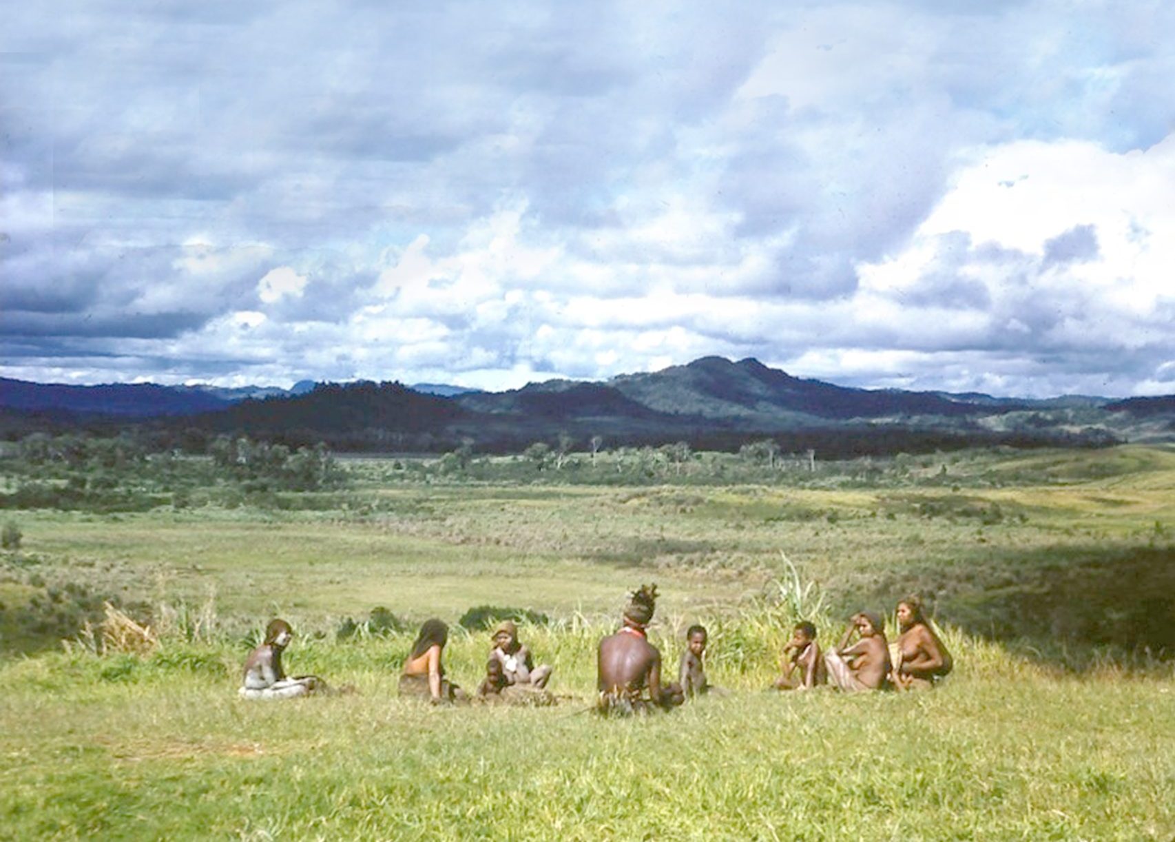
After flying into an area, the CSIRO teams may have had some limited 4-wheel drive assistance, but most of the work was on foot and small river-craft. Today, helicopters, satellite-imagery and mobile telephone communications make such surveys easier.
The last of 39 reports by the CSIRO was published in 1977. Twelve of these reports covered much of mainland PNG and a thirteenth covered Bougainville. The last PNG LRS report was No. 37 – ‘Ramu-Madang’. However, most of the initial on-the-ground work for that area was completed between 1956–58. Of the 39 reports, three were explanatory notes on maps covering the whole of PNG.
The reports varied in length from 107 to 276 pages of narrative, photographs and tables. Included separately with each report were several excellent well-referenced, multi-coloured maps.
These valuable records, references and over 50-year old baselines, are now available in electronic form on the CSIRO website and available for free download.