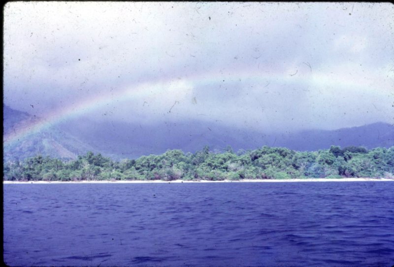
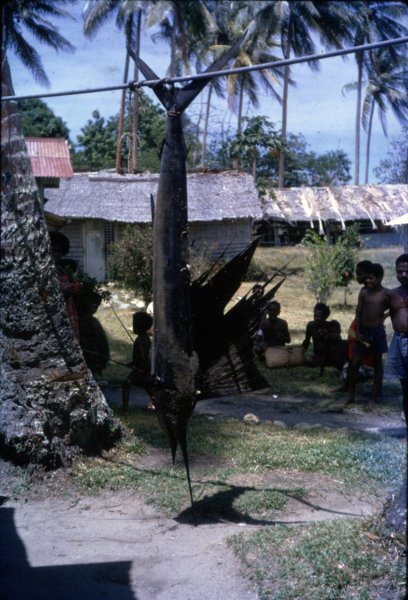
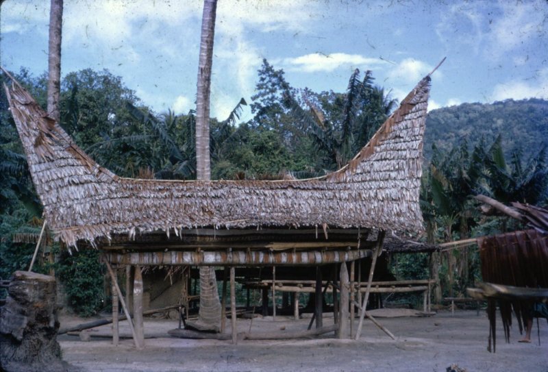
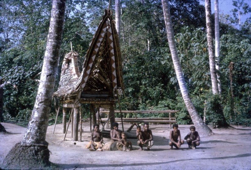
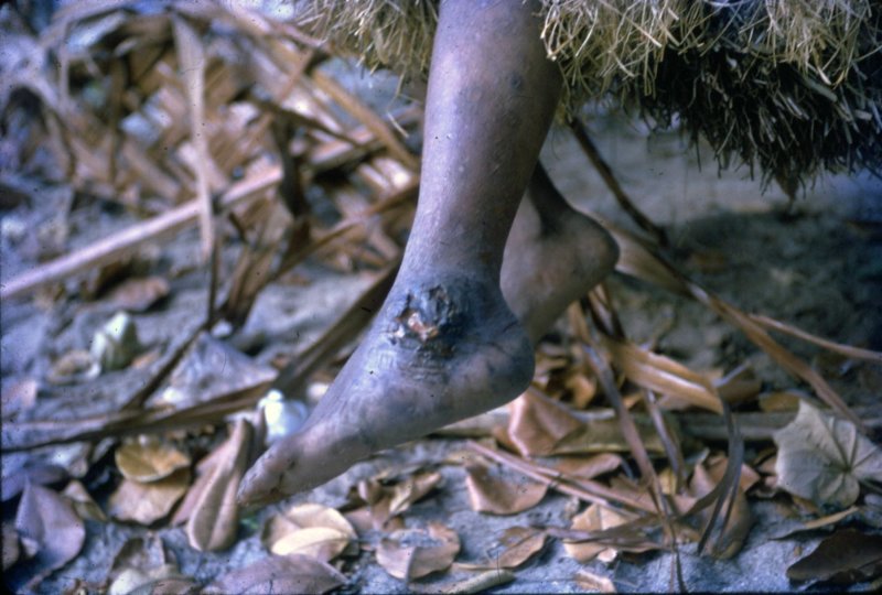
Fergusson Island – 1965/66 – Photos from Jim van der Kamp
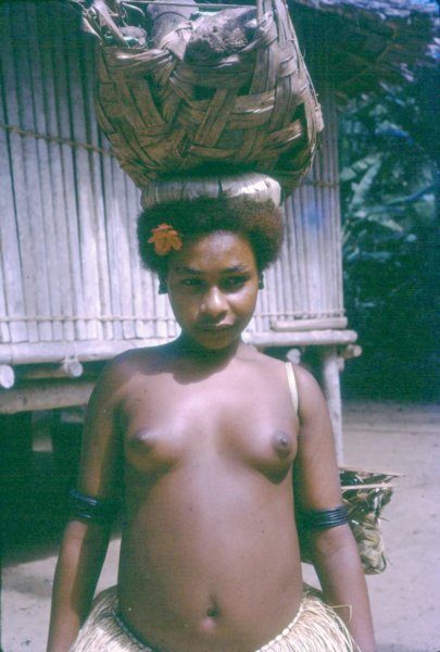
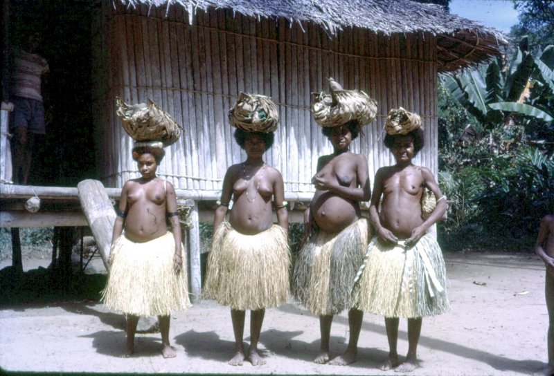
The following photographs were taken by Jim Van Der Kamp. Jim joined the PNG Public Health Department’s Malaria Control Programme as a Field Officer in January 1965 after 18 months service in the Army as a Medico in what was then Dutch New Guinea (now West Papua) and a break back in Holland.
Following a few weeks in Popondetta and Wanigela, Jim’s first posting was at Bolubolu Patrol Post on Goodenough Island where he remained for 5 months. He then spent 14 months at Mapamoiwa on Fergusson Island, patrolling all the D’Entrecasteaux islands including Woodlark and the Trobriand islands. In mid 1966 Jim was transferred to Rabaul for further training at the then Malaria Institute. In January 1967 he was posted to Minj in the Western Highlands as District Malaria Supervisor, moving to Mount Hagen in 1969. September 1973 saw a posting to Kieta, Bougainville, as Provincial Malaria Supervisor. After six and a half years of extensive patrolling, Jim, in 1980, was transferred to Goroka in the Eastern Highlands Province and took up the position of Regional Inspector covering most of the Highland Provinces. Jim went “finish” in February 1985.
…..
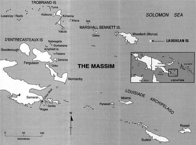
Fergusson Island is the largest island of the D’Entrecasteaux Islands, in Papua New Guinea. It has an area of just over 500 square miles (1,437 km2), and mostly consists of mountainous regions, covered by rain forests. There are three large volcanoes on the island. The island is situated 3 km across the Dawson Strait from Normanby Island and 4 km from Goodenough Island across Moresby Strait. The highest peak at 6,801 feet (2,073 metres) near Wadalei in the northeast of Fergusson Island of a extinct volcano. Seymour Bay is located on the west coast, Sebutuia Bay on the east, and Hughes Bay on the north. The principal settlements, Salamo and Mapamoiwa, are on the southern coast.
…..
To view a ‘Google’ map of Fergusson Island, click here
