Rabaul 11-foot Tsunami July, August 1971 – Photos from George Oakes
George Oakes writes:
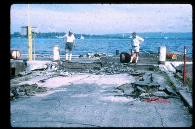
“This took place in July/August 1971. There were a lot of earthquakes at the same time. As I understand it, the tsunami was caused by a submarine landslide in the Solomon Sea to the SE of Rabaul. The water in the harbour started rising about lunch time and rose to about 11 feet above normal tide level, then started to recede to about 11 feet below normal tide level. It then came in again to a lesser height (about 10 feet) and so on. This cycle from the highest point to the next highest point took approximately 1.5 hours. This backwards and forwards motion continued into the night until the sea settled back to normal.”
George was born in Rabaul in 1934 and joined what became DDA in 1954. He later transferred to Business Development as Principal Finance Officer and departed PNG in 1975. Postings included Mendi, Lumi, Nuku, Pomio, Kokopo, Rabaul, Lae, and Port Moresby.
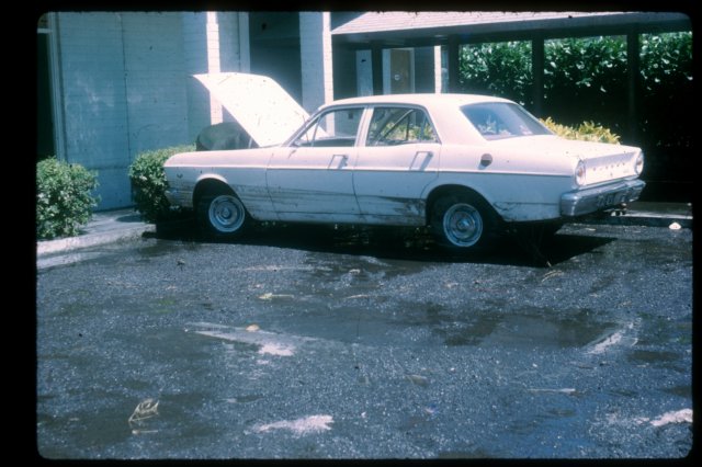
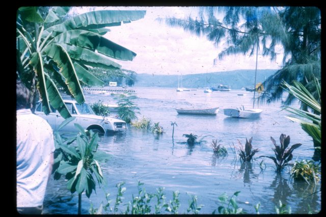
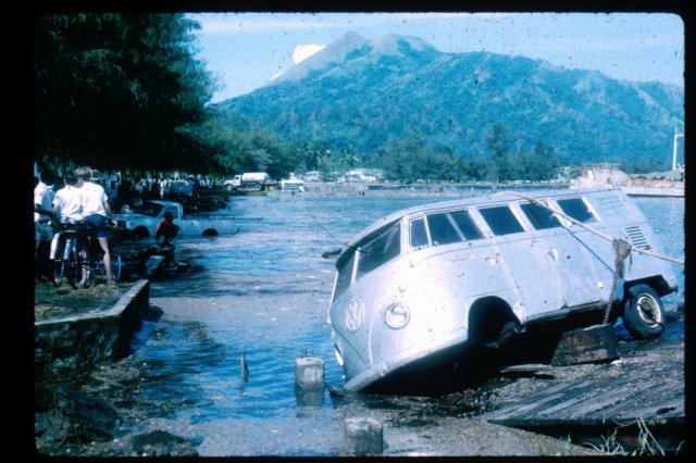
Travelodge Car Park - showing level the water reached on a car when it first came in. This was before the second wave came in.

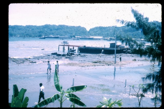
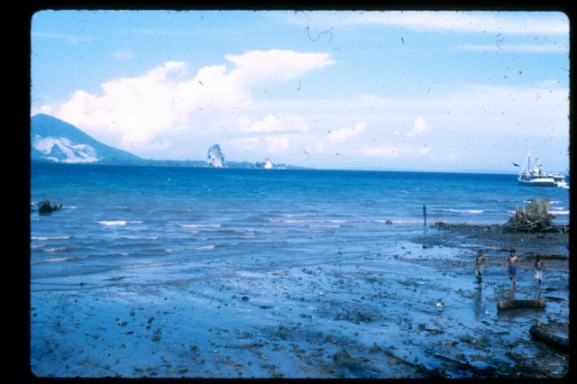
Taken from Travelodge upstairs after the first wave receded showing water still receeding. The scene is in front of the Yacht Club
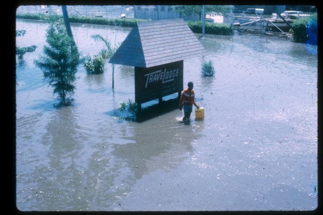
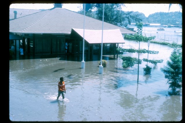
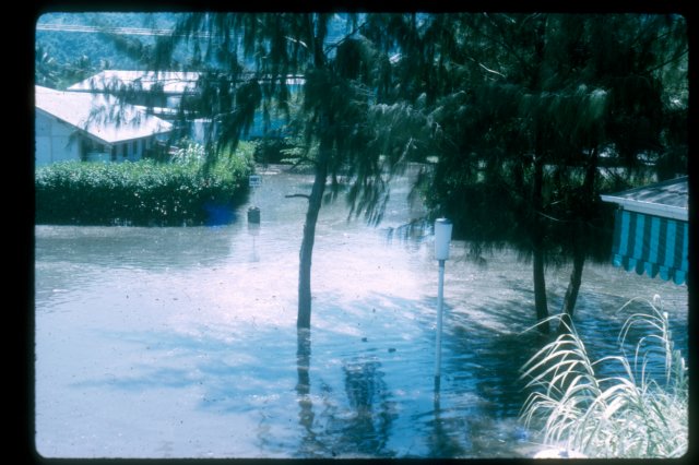
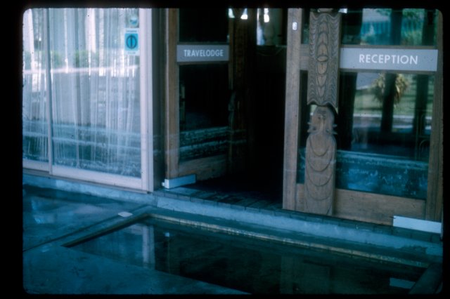
Travelodge entrance - Water starting to recede after second peak. Roadway covered by about 2ft of water
